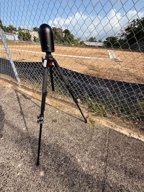
Aerolab employs terrestrial laser scanning to capture detailed spatial data with centimeter precision. A tripod-mounted laser unit emits rapid pulses and measures their return time, logging millions of points each second to form a comprehensive 3D point cloud. This dense dataset faithfully represents terrain, structures, and interiors, preserving every contour and surface feature. This service supports surveying efforts, renovation planning, and heritage preservation. Our TLS workflows deliver reliable digital replicas ready for analysis, modeling, or archival. With streamlined setup and on-site scanning, we minimize field time while ensuring your team receives accurate, actionable data for critical decision-making and project success.
Capture every contour and surface with centimeter accuracy using Aerolab’s Terrestrial Laser Scanning services. Contact us to discuss your needs and receive a tailored proposal.
Generate accurate 3D models of buildings and interiors. Scan data integrates into CAD workflows for floor plans, elevations and renovation design, ensuring plans align perfectly with real-world conditions.
Document fire scenes, accident sites and crime locations with centimeter accuracy. Detailed point clouds enable reliable scene reconstructions, bolstering legal cases and insurance assessments with exact spatial records.
Record delicate structures without physical contact. High-definition scans preserve intricate details and textures for archival records, condition assessments and restoration planning—safeguarding historic assets for future generations.
Hear how Aerolab’s clients leverage aerial insights and data analytics to uncover critical issues, optimize maintenance, and secure project outcomes.
” For 3MG, PSC, an Architectural/Engineering firm, building structures facade inspections are part of the business. We’re always looking for ways to expedite these types of inspections while maintaining the integrity and quality of our deliverables. Aerolab’s facade inspection methodologies allowed us to deliver the high level of quality our customers are accustomed to and have come to expect. In the process, we’ve also been able to reduce costs and delivery time. We highly recommend Andy and Aerolab.”
“We recently conducted an inspection of a segment of one of our most important pipelines in Puerto Rico. Instead of using traditional methodologies, we chose to use drones. Andy was highly recommended for his subject matter expertise in technical inspection. He didn’t disappoint. Not only was the under-bridge inspection completed in a safe and timely manner, but we extracted far more actionable data than expected. We’re currently using Aerolab’s inspection report to forge our maintenance schedule for that portion of the pipeline.”