We integrate the latest LiDAR sensors, processing tools, and drone platforms into repeatable workflows that meet strict standards. In combination with ground control targets and field-run checks, we verify point-cloud accuracy, ensuring each dataset aligns with project specifications. The result is dependable 3D data you can trust for engineering, planning and compliance reviews.
LiDAR slashes traditional field-capture timelines by collecting millions of points in hours rather than weeks. Accelerated data acquisition and automated processing help clear backlogs and expand your project's capacity. Aerolab delivers ready-to-use LiDAR outputs on a schedule that fits your milestones—so you can keep operations moving without costly delays.
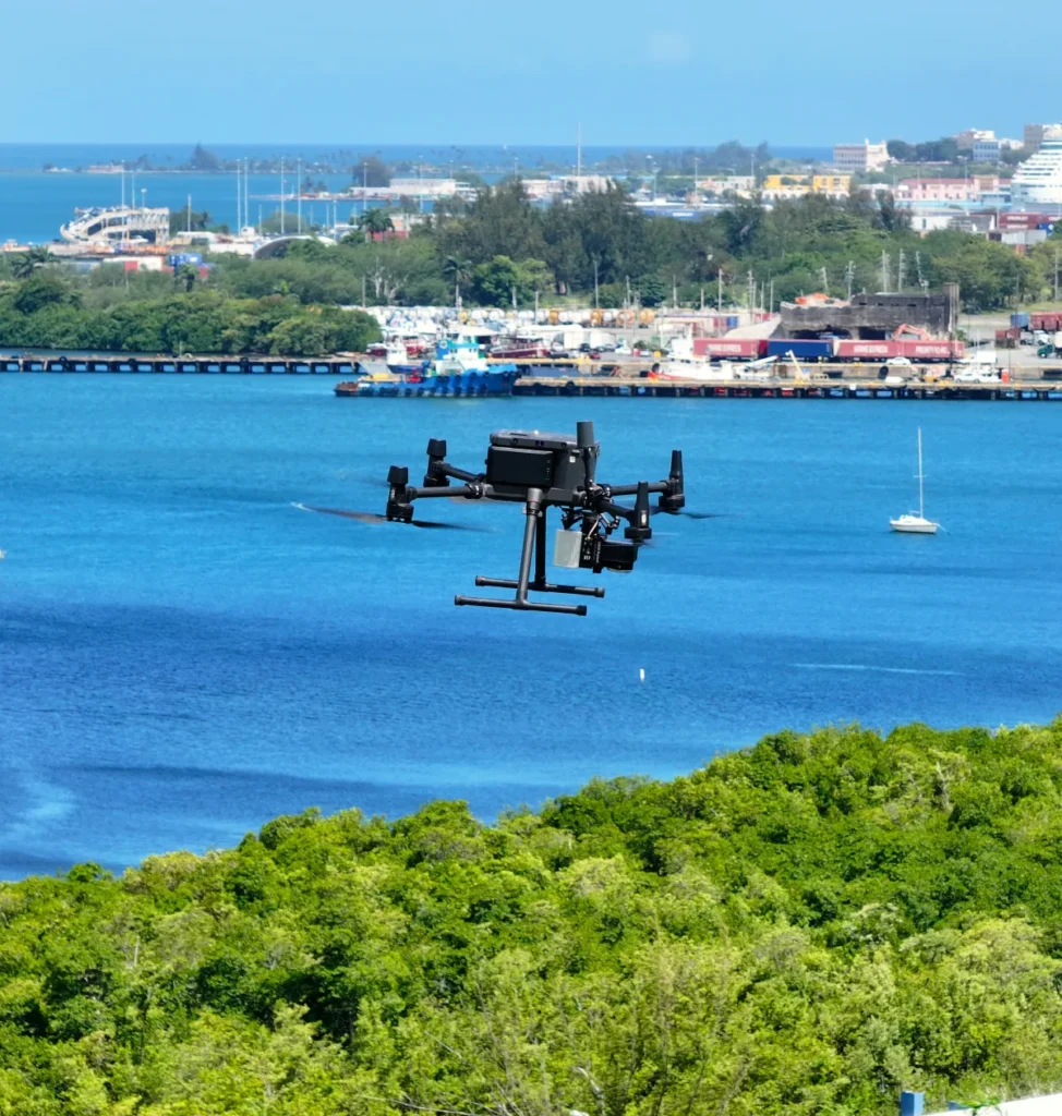
What sets Aerolab apart is more than ten years of LiDAR collecting expertise and dependable results. Our team of seasoned professionals master both aerial and 3D laser-scanning workflows, delivering seamless data capture and clear, actionable outputs. By working with Aerolab, you gain access to proven methods that produce highly precise 3D models and data sets. With a history of successful projects across multiple industries, our clients receive custom support and detailed spatial insights. Held to strict quality standards and backed by responsive service, Aerolab is your reliable partner for accurate LiDAR data acquisition.
Hear how Aerolab’s clients leverage aerial insights and data analytics to uncover critical issues, optimize maintenance, and secure project outcomes.
” For 3MG, PSC, an Architectural/Engineering firm, building structures facade inspections are part of the business. We’re always looking for ways to expedite these types of inspections while maintaining the integrity and quality of our deliverables. Aerolab’s facade inspection methodologies allowed us to deliver the high level of quality our customers are accustomed to and have come to expect. In the process, we’ve also been able to reduce costs and delivery time. We highly recommend Andy and Aerolab.”
“We recently conducted an inspection of a segment of one of our most important pipelines in Puerto Rico. Instead of using traditional methodologies, we chose to use drones. Andy was highly recommended for his subject matter expertise in technical inspection. He didn’t disappoint. Not only was the under-bridge inspection completed in a safe and timely manner, but we extracted far more actionable data than expected. We’re currently using Aerolab’s inspection report to forge our maintenance schedule for that portion of the pipeline.”