Infrared drone inspections at Aerolab pair agile aerial platforms with thermal imaging to reveal hidden asset issues. By mapping temperature variations, our surveys pinpoint heat loss, electrical faults and moisture accumulation without onsite disturbances. Ideal for infrastructure checks or agricultural monitoring, this method speeds up inspections, reduces risk to personnel and cuts overall costs.
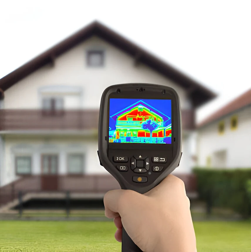
Infrared drone inspections deploy aerial platforms fitted with thermal sensors to record surface temperatures across structures and equipment. These surveys expose anomalies—such as heat loss, electrical faults, moisture intrusion and structural defects—by translating temperature differences into clear visual maps. The result is a nonintrusive health check for critical assets.
Inspect elevated, confined or unstable locations without placing personnel at risk, perfect for power lines, storage tanks and industrial facilities.
Swap out scaffolding, lifts and heavy machinery for quick drone flights, lowering labor expenses and equipment rentals.
Produce annotated heat maps and temperature logs that catch inefficiencies or developing faults early, helping prevent unplanned downtime.
Apply thermal surveys to energy systems, manufacturing plants, agricultural fields and beyond, adapting seamlessly to diverse asset types.
Ongoing advances in sensor design and data analytics will expand what infrared drones can achieve. Integrating artificial intelligence and machine learning will allow aerial platforms to interpret heat signatures on the fly, flagging anomalies and suggesting corrective actions without manual review. This capability will accelerate inspection cycles and sharpen decision-making.
Infrared drone surveys already deliver critical insights into asset performance, site integrity and safety hazards. As more teams adopt these methods, routine inspections will require less manpower and yield richer datasets. The result is a streamlined maintenance workflow that keeps systems reliable, budgets predictable and personnel out of harm’s way.
Hear how Aerolab’s clients leverage aerial insights and data analytics to uncover critical issues, optimize maintenance, and secure project outcomes.
” For 3MG, PSC, an Architectural/Engineering firm, building structures facade inspections are part of the business. We’re always looking for ways to expedite these types of inspections while maintaining the integrity and quality of our deliverables. Aerolab’s facade inspection methodologies allowed us to deliver the high level of quality our customers are accustomed to and have come to expect. In the process, we’ve also been able to reduce costs and delivery time. We highly recommend Andy and Aerolab.”
“We recently conducted an inspection of a segment of one of our most important pipelines in Puerto Rico. Instead of using traditional methodologies, we chose to use drones. Andy was highly recommended for his subject matter expertise in technical inspection. He didn’t disappoint. Not only was the under-bridge inspection completed in a safe and timely manner, but we extracted far more actionable data than expected. We’re currently using Aerolab’s inspection report to forge our maintenance schedule for that portion of the pipeline.”